Wednesday, February 21, 2007

Portland Adventure: Day #2


After arriving in Portland late on the afternoon on Day 1, Liam and I got settled at the hotel, walked around town a bit, and had some pizza at Hot Lips. There was a band setting up in the corner as we left, and the drummer had long dreadlocks. As were walking past, Liam slowed down a bit, then walked up to the drummer and said "You look like Captain Jack Sparrow!" The rest of the band started laughing.

The evening was challenging. Lots of screaming for Mom and milk, but eventually, we both fell asleep, and rested (fitfully) until about 7:00 the next morning.

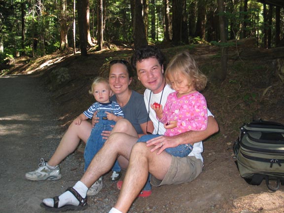
On Day 2, we were picked up by our friends Jen and Carl and we went for a fantastic hike along Eagle Creek in the Columbia Gorge. Unfortunately, Liam was quite tired so we only made it in a little over a mile. This was far enough that we saw some great scenery and were able to traverse an extremely narrow ledge carved into the side of a cliff, with (naturally) a waterfall dropping directly onto the trail. Walking along slippery rocks on the edge of a cliff under a waterfall is thrilling and exciting even by yourself, but for an extra special dose of stimulation, I highly recommend carrying a sleepy three year old. YEAAH!!

After the hike, nap time, then exploring downtown Portland, and dinner at Kell's. It was a good day, and the night was a bit easier than the first, with far less screaming in the middle of the night.

The Portland Adventure: Kick-off Party and Day #1


This past Friday we had a weaning party for Liam. After nursing him for 3 1/2 years, through her pregnancy with Lochlan, and tandem nursing two boys for the past 9 months, Amy decided she was done. Since Mr. Little Guy has shown no signs of quitting on his own, we decided to give him a firm but very supportive, festive nudge into the land of big-boyhood. The Weaning Party was a rockin' affair for the preschool set. We had vegan chocolate cake, featuring a photo montage we put together of Liam nursing at various ages (and printed with edible ink on edible rice paper by the Erotic Bakery)--which I decided not to include an image of here on the blog for the simple reason that Amy would kill me. Liam's buddies Colin, Darby, Audrey, Max, Amelie and all their parents were there, and it was a lot of fun.

Liam's pediatrician recommended that I take Liam elsewhere for the first few days of the weaning period, so the next day, Liam and I headed south on an Amtrak train for a four day adventure in Portland.

Sunday, February 04, 2007

A Clear Day at Carkeek


We've had really clear, cold weather here in Seattle up until yesterday. About a week and a half ago I took the boys to Carkeek park for a play date with our friends Audrey and Heather. It was cold, but we still spent some time on the beach. There were some beautiful views of the Olympics, and a green fishing boat plying the waters just offshore.

Brothers


Liam and Lochlan, January 2007

Will Dance for Food

Amy went snowboarding with some of her buddies from work today and I had the boys. Liam wanted to go to the library, so the three of us hopped on the trusty 44 and took it to downtown Ballard. The bus stopped right in front of the Great Harvest bakery, and the tempting aromas were impossible to ignore so we headed inside to grab a snack. The folks working the counter were playing some god-awful 80s station, and the particular tune we heard upon entering was "Rock Steady" by the Whispers. Well, despite the vacuous lyrics it *is* a dance song, and upon feeling the beat Liam began dancing in the astonishingly uninhibited manner that can only be attained by three-year-olds and the clinically insane. He was cutting some mad dance moves, and before long he had the two women working the registers dancing too, and just about everyone in line laughing. When it was our turn to pay, the woman gave him the cookie for free for being so entertaining. The guy behind us heard that and started dancing, and said "can I have my cookie for free too?!?" It was awesome. I love being a dad.

Sunday, January 21, 2007

Gratuitous Baby Shot


Several days ago, Lochlan started pulling himself up to a standing position. Today, he started cruising from chair to table to high chair in the kitchen. The crazy thing is, the kid just turned eight months on Thursday! Here's a shot of the wee lad after he pulled himself up to plunder the toy box.

Thursday, January 18, 2007

Two Cool Tools

Every once in awhile I find some really cool tools that make my job a lot easier and/or interesting. Here are two, one from last week, and one from this week:

The first is Light Box, a bit of javascript that does really neat stuff with images on the web. Thanks to Jon Stahl for bringing it to my attention. I used this for the portfolio section on the CORE GIS site. It's kinda hard to explain what it does, just go check it out.

The second one is a very handy GPL PDF splitter called PDF Split and Merge. I often have cause to generate large PDFs, which need to be split into individual pages or chunks of pages for layout using InDesign or some other graphics software. I am somewhat mystified by the exclusion of this apparently obvious feature from Adobe Acrobat, but thank goodness someone solved the problem--for free!

Maybe there are others out there who would also benefit from these handy tools.

Friday, January 12, 2007

A "Cronkite Moment" for Global Warming?

On Monday morning I was listening to NPR on the way back from the Ballard Pool (yes, this was one of those rare occasions where I was actually driving a car, which only enhances the substantial irony of this post). They were interviewing Bob Seger, who has just released a new album. I'm not exactly a fan of his music, but I share a certain working class affinity with the man. I was born in his home state of Michigan, and many of my extended family members worked (or, in some cases, are still working for) one of the Big Three automakers in Detroit and the surrounding cities. But what really caught my attention was the subject of one of his songs, "Between":

World keeps getting hotter
Ice falls in the sea
We buy a bigger engine
and say it isn't me.


This is a pretty significant statement coming from the guy who wrote the song "Like A Rock," which became one of Chevy's most famous advertising slogans. What's more, Seger gave major kudos to Al Gore for spreading the word about global climate change, and it was right about that time my jaw dropped completely to the floor.

If Bob Seger, American Classic Rock Icon, has seen the light, perhaps there's hope for the rest of the country?

Wednesday, January 03, 2007

Friday, December 29, 2006

Announcing CORE GIS


So the reason the blog posts have diminished precipitously these past few months is because Amy and I started our own company. I left CommEn Space at the end of October and CORE GIS started up on November 1st. CORE GIS is actually an acronym for Community, Regional, and Environmental Geographic Information Systems. Amy is the president and I am (technically) the managing principal, although for now Amy does not really have any involvement with the day-to-day operations. The work I'm doing is largely similar to the work I did at CommEn Space, although I'm hoping to pick up a few private sector and government contracts to help subsidize the non-profit work that forms the core (heh) of the business. Unfortunately, CommEn Space is closing it's doors at the end of the year--there's more info here.

Several of my former CommEn Space colleagues have also started their own companies, and we are working together in a loose confederation to assist with workload balancing and business development. Josh's Umbrella Consulting site is here, Jessemine's Leesaa Consulting site is here, Karsten's Terra GIS site is here, and Tim's Geocartic site will soon be available here.

So far, it's been great working from home--I have a lot more time with the boys and amazing flexibility in meeting my project commitments. There are certainly challenges as well, but so far, nothing insurmountable. More updates over the coming months.

Saturday, December 16, 2006

A Truly Mighty Wind

On Thursday night we experienced the tail end of an extremely powerful low pressure system. The associated winds were incredibly strong, especially for Seattle, and there was a substantial amount of damage--big portions of the metro area are still without power. When I took Liam and our neighbor's boy Colin to preschool in the bike trailer yesterday, there were a couple of large-ish trees completely blocking the Burke-Gilman trail. At the preschool itself, half of their fence had been blown over! It's been quite an intense fall for weather.

Wednesday, December 06, 2006

SNOW at Snoqualmie Pass!


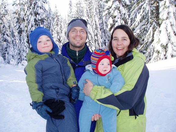
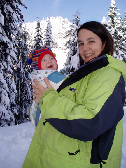
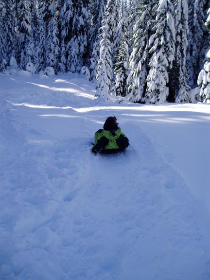
One of the benefits of the amazing amount of precipitation and record cold weather we experienced here in Western Washington is abundant amounts of cold, fluffy snow. Our friends and neighbors Chris, Becky, Colin and Darby invited us to join them for a day of sledding near Alpental. They are members of the Washington Alpine Club, so we had access to their lodge for getting warm and drinking hot cocoa. It was a blast! Next time, Amy and I might even try to get a few runs in on our snowboards.

Wednesday, November 29, 2006

Twins Separated by Three Years


Since Lochlan was born, Amy and I have been amazed by the resemblance (both physical and behavioral) between Liam and Lochlan. Now we have photographic evidence--one of these pictures was taken three years ago, one was taken three days ago. Guess which one is which.

Sunday, November 26, 2006

Halloween


Sorry for the extended absence from the blogosphere (more on that later). I'm going to try to catch up on recent major events in a whirlwind of posts this weekend. The first of which is:

Halloween! Liam was a T-Rex, and his buddy Liam was a dinosaur. Lochlan was a Barbaloot Bear (from the Dr. Seuss book The Lorax). My folks were in town and we met the Prestias at Woodland Park Zoo for the Pumpkin Prowl. It was awesome--lots of cool pumpkins, and Brothers From Different Mothers put on a really incredible juggling show.

Tuesday, September 19, 2006

First Day of Preschool


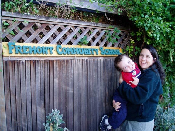
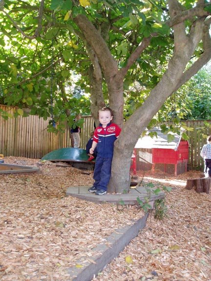
Liam started preschool at the Fremont Community School last week. It is a great school--their motto is "we let kids be kids" and they are set up to facilitate that. The school is actually an old craftsman house, with a huge backyard containing fruit trees, a chicken coop, a bunny hutch, a mud pit, and lots of dump trucks and excavators. The kids spend at least an hour outside every day, rain or shine, and the teachers really emphasize natural cycles and ecological awareness. Liam is attending two days a week to try it out, and so far he really seems to be enjoying it. Since he started up, a common refrain is "I learned it at school." They also celebrate a number of festivals, the first of which (Harvest Festival) is this Friday. Hopefully I'll be able to make it.

The woman giving Liam a squeeze is one of his teachers, Tara, and the photo of the kids and parents standing in a circle is Circle, which is how they start each day.

Iron Horse State Park


Last weekend we took a nice leisurely hike along the Iron Horse State Park rails-to-trails. It was a very pleasant day. Here is a shot of Liam holding a leaf from a very appropriately named Big Leaf Maple, and MicroMan completely zonked out on Mom.

Sunday, September 03, 2006

Lochlan Smiles


Sean captured this one!

The Slumbering Wee Lads


Ah, if only it were as easy as this photo makes it seem...

Franklin Falls


Last weekend we went for a delightful hike with our friends the Caughlans (Anne, Sean, Caitlin & Dillon) to Franklin Falls, near Snoqualmie Pass. The hike was only about a mile each way and was pretty easy for little kids. It is a very popular destination, and consequently there are some places where all the boots and sneakers have created some fairly severe erosion. However, in many places there are puncheons to deal with the erosion, and I get the impression that a lot of work is being done on the trail.

The destination is pretty spectacular--a 70 foot waterfall that empties into a beautiful little pool. This was a perfect hike for a hot summer day!

Friday, September 01, 2006

ESRI International User Conference


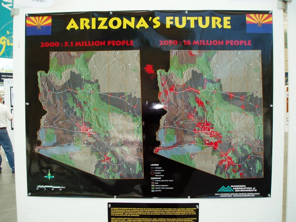
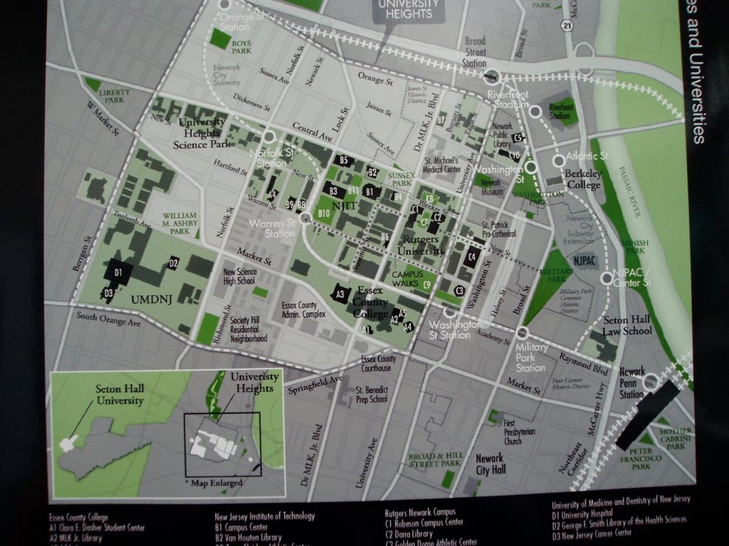
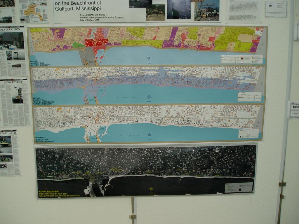
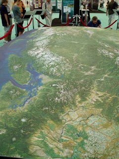
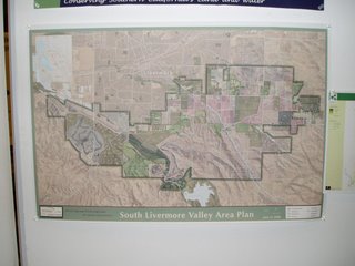
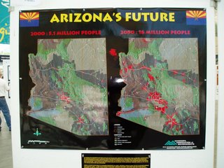
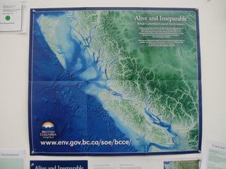
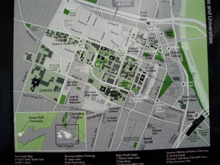
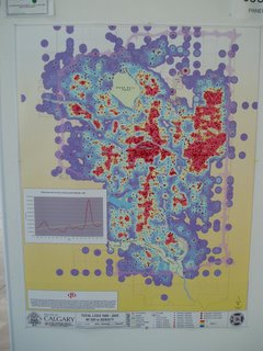
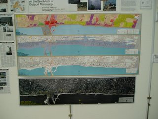
As I mentioned in an earlier post, the primary motivation for our trip to San Dieigo was the ESRI International Use Conference, which is put on annually by the maker of the most commonly used commercial GIS software, ArcGIS. I use ArcGIS almost every day at CommEn Space and have been using ESRI products in some form or another for 10 years. The conference was great fun. I always learn new things and gain great inspiration from the Map Gallery. This year was no exception. There were several outstanding sessions, which I describe in some detail below for any readers who happen to be similarly interested in spatial data and analyttical methods, and I'm also including some digital pics of a few of the maps I found particularly intriguing.

Here's a brief rundown on the sessions I attended. Please pardon the rough nature of the notes, most of them were hammered out on my laptop in real time.

Status of NLCD

NLCD has two other products in addition to the landcover--percent impervious and percent tree canopy. The USGS has been using See5 for the classifcation tree; it is highly automated and will enable easily automated updates of national land cover. The canopy cover data set is complete for lower 48; moving on to AK next . Imperviousness is also done for most of the US

For landcover, by end of 2006 most of the lower 48 will be done

Download data here:

gisdata.usgs.net/website/MRLC

www.mrlc.gov

Spatial techniques for Marine Reserve selection
Brian Fulfrost

Ailinginae island--several uninhabited coral attols

Rapid ecological assessment --30 field sites; terestrial bird surveys

Remote sensing on benthic habitat, bathymetry, and vegetatoin changes using quickbird imagery

35 dive sites; somewhat biased locations due to remoteness

Question is how to protect attols biodiversity

Coral
Fish
Birds
Rare species
Range extensions

Derived bathymetry from Quickbird (Daria Siciliano) and also derived benthic classifiation--apparently many papers written on her methods (speaker

NDVI vegetation change analysis

Methods used are: Kriging, regressions, MARXAN (simulated annealing algorithm)

Kiriging: interpolate species richness from sampled points; interpolation from the points, so the surfaces were not very useful because of low N; doesn't look into currents, suitable substrate for larval settlement, etc, also doesn't incorporate ecological barriers (but Constantine @ ESRI has worked out some ways around that)

Regressions: N is too small, so regression has no significance

MARXAN: combines field data w/remote sensing.
1. Planning units
2. Conservation targets
3. Boundary length modifier (looks at adjacency issues)
Used hexagons across the islands
Targets:
Looked at sum irreplaceability--any poly chosen more than 50% of the time represent irreplaceable areas

Best fit model gives you the best output to meet your conservation targets.

MARXAN is not an "ecologically intelligent" tool, it's a decision making tool.

Combine techniques to get the best fit

The influence of Topography on Habitat Area Estimates
Duane J. Haselfeld

PSOMAS--consulting firm in CA

Basic idea here is there is, in some instatnces, a huge discrepancy between plannimetric area and topographic area

The relative increase in the topographic area is directly proportional to the slope--the steeper a place is, the less accurate area measurements will be

At 60 degrees, the error is approx 100%; the error is very low where slope is low, but it increases rapidly--

0-25 degrees, 10% error
25-40 degrees, 30% error
40-60 degrees, 100% error

Emphasizes that elevation is not a surrogate for slope.

Pretty interesting; bottom line is that when area calculations are important, use the topographic area and not the planimetric area


New Landcover Data for the State of Maine
Sanborn office in San Diego

Andrew Lewis worked on the landcover map of Maine

Mike Smith from State of Maine
Mike Palmer from Sanborn in the Ann Arbor office

Project is moving form a 30m to a 5m data layer

Collaborative effort with Maine

Integrated with Federal NLCD/CCAP 2001 projects

Modeling wildlife habitat
Water quality
Imperviousness
Broad level planning initiative

Lots of partners on the project--Federal, state agencies, some non-profit? (Woodlot Alternatives was employed as the field data gathering arm)


Deliverables: 5-meter landcover, based on the NLCD 2001 landcover data classes

5-meter imerviousness data for about 25% of Maine

Recylced a lot of work from the NLCD work


Used SPOT panchromatic; semi-automated approach to binary impervious

Resulting products are CCAP, 5m polygon based map (not as interdigitated landcover classes)

Ran image segmentation on SPOT 5 to get the landcover classes

USed E-cognition for segmentation

Used training data based on the change classes (I think on some field work too)

RFeferred to as a "low cost" option--but how much did it cost?
He mentioned that they're doing some stuff with 1m resolution data

$125k for the SPOT imagery
$100k for the analytical work

Pan sharpening was done in ERDAS Imagine

Energy Mapping in Austria

Because of direct o indirect solar production, increasingly huge land areas are necessary for energy production. Energy will soon be readically impacting zoning throughout the developed world.

Demand indicators:
• Demographics
• Business data
• Using standardized load curves from utilities

1. Demand forecast
2. Potential Generation forecast: concept is a “virtual powerplant” of different types of renewables; transmission doesn’t’ send energy over long distance,s mostly provides stability to the entire network
3. Looking for a locally adapted mix of appropriate renewable energy sources

Look at segmentation for defining homogeneous regions froma grid—looks a bit like thiessen polys; “autoarkic regions”

Equitable Fee Collection Using Enhanced Impervious Surface Data
Lauri Sohl, City of Sioux Falls

All properties in SD are charged a storm drainage fee based upon impervious cover per parcel. Impervious surface includes roads, parking lots, etc

Parcel area X runoff WT factor X unit financial charge

Runoff factor is determined by land use, based on intensity of use

METHODS:

Orthophoto 6” resolution
Infrared IKONOS 4m

Resolution merge using Leica Geosystems Image Analysis Extension; used Borvey transformation, nearest neighbor resample

Feature Extraction by Visual Learning Systems (an extension)—VLS Feature Analyst

Create “learning” feature class.

Conservation Plan for Southeast Pennsylvania
Clare Billet, Smart Conservation, smartconservation.org

***VERY INTERESTING presentation. Looked at terrestrial vertebrates, grid-based from GAP. For aquatic resources, used the watershed. For Terrestrial resources, used GAP and heritage for Rarity (how did they solve the absence of absence problem?)

Focused on top 20% as nodes

Used roads, railways, streams, waterbodies, as barriers for the network analysis

Web-site supports on-line digitizing, analyzes how important that site is, online—pretty amazing

Identifying, Defining, & Mapping Natural Infrastructure in SW Pennsylvania
Andrew Schwartz, Environmental Planning & Design, LLC

Landscape Characterization & Evaluation of Alachua County FL
Partnered with the Information Center for the Environment (ICE) @ UC Davis